Depuis 2008
CD93 – DEA – SIG ASS
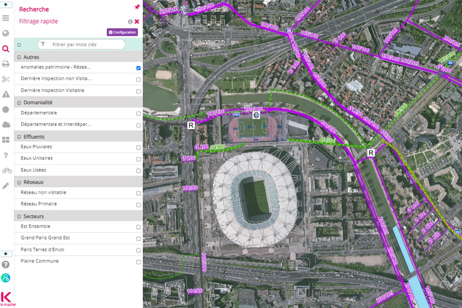
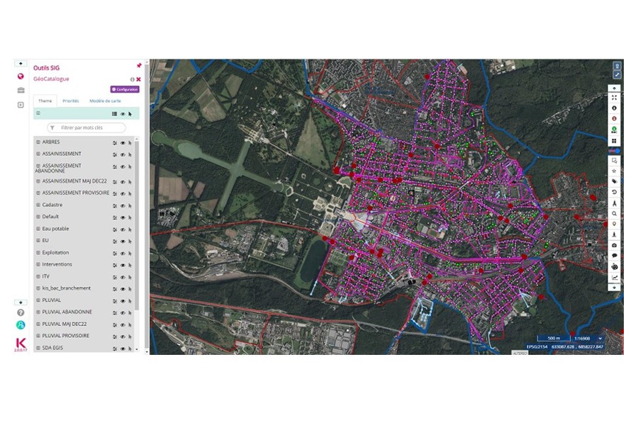
Système d’information géographique et applications métier sur mesure

Système d’information géographique et applications métier sur mesure
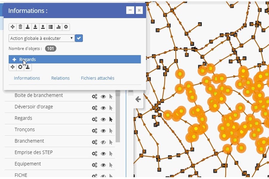
Acquisition, mise en œuvre et maintenance d’un SIG Communautaire évolutif avec modules métiers eau et assainissement
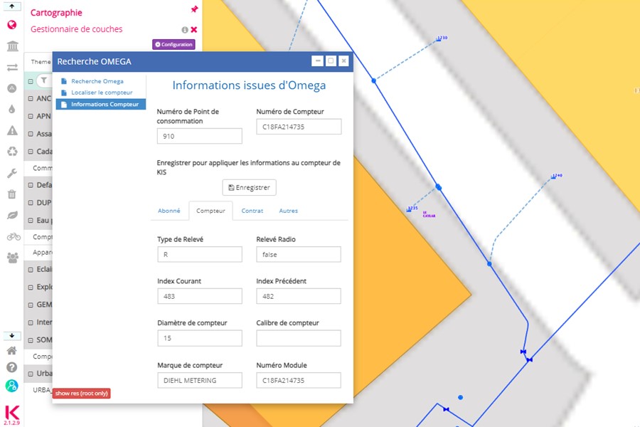
Mise en place d’un nouveau Système d’Information Géographique
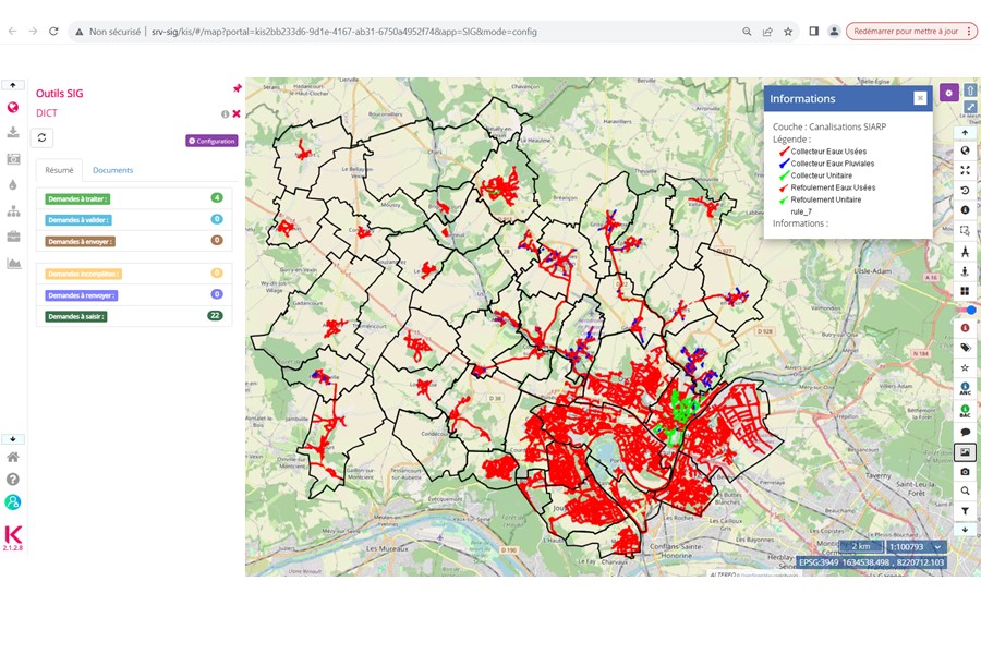
Mise en œuvre du logiciel de gestion patrimoniale Indigau